Trail 3 Zuriza – Achar de Alano
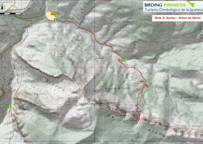
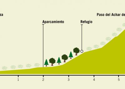
A challeging route is proposed for the final stretch descending through 650 metres of uneven terrain. It starts on the bank of the River Vera, in Zuriza, and climbs up the Tacheras valley to Achar de Alanos.
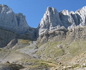
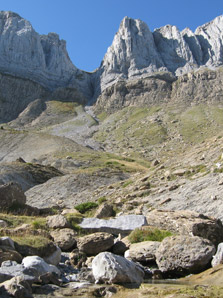
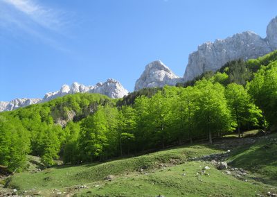
The first part of the route is a woodland trail that goes through meadows and grasslands. It can be driven over as far as the existing car park, on the edge of the Tacheras woodland, a beautiful beech stand located on the side of the valley. From there on, the trail continues to climb until we come to the supraforestal pasturelands. Crossing over the alpine meadowland, a very narrow path leads us up towards the cliffs and crags of Achar de los Alanos, a landscape that is tipycal of the highlands.
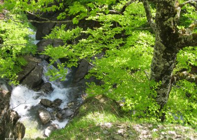
The route allows us to observe a variety of species from those associated with streams and open countryside with scattered scrubland ssuch as Ortolan Bunting, Yellowhammer, Grey Wagtail, Dipper or Red-backed Shrike, to species typical of the forest, Great Spotted Woodpecker, Black Woodpecker, Eurasian Nutthatch, including highland species such as Wallcreeper, Snowfinch, Alpine Accentor, Lammergeier, Rock Thrush, Yellow-billed Chogh and Common Crow.

